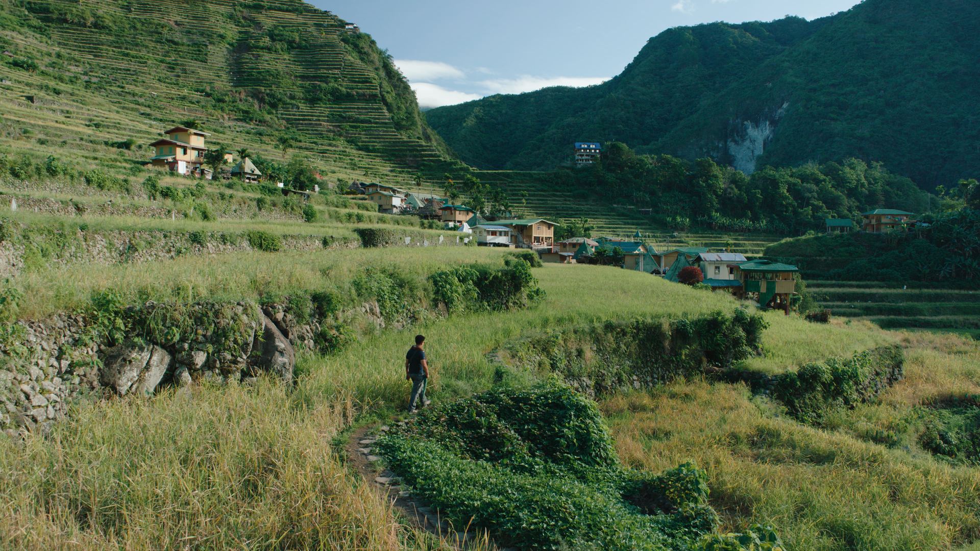
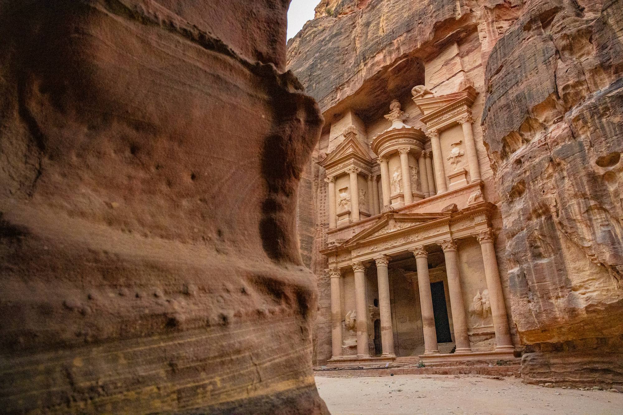
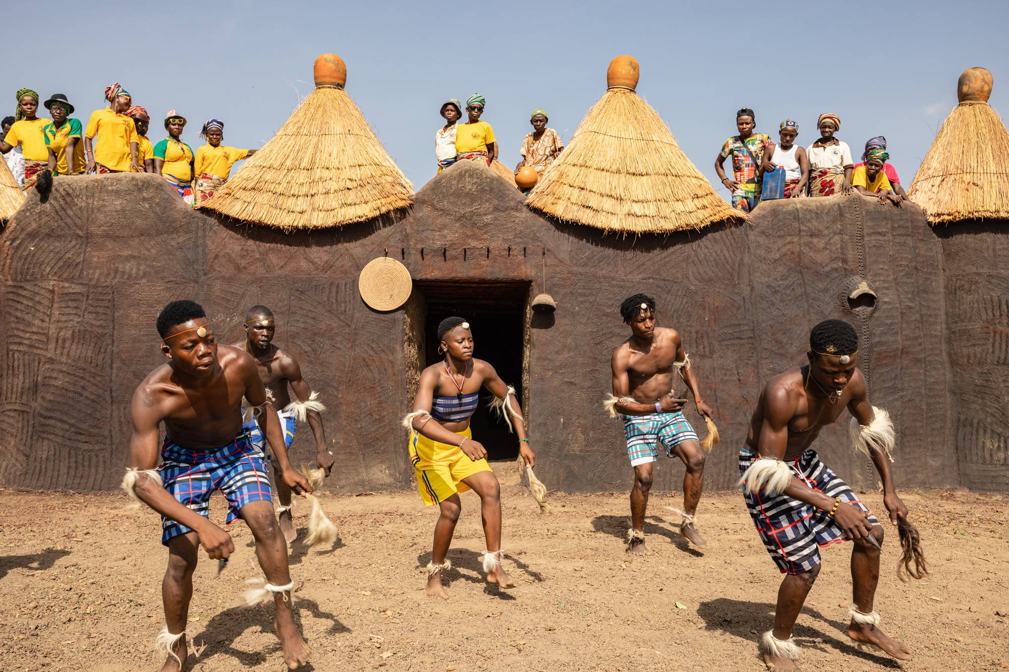
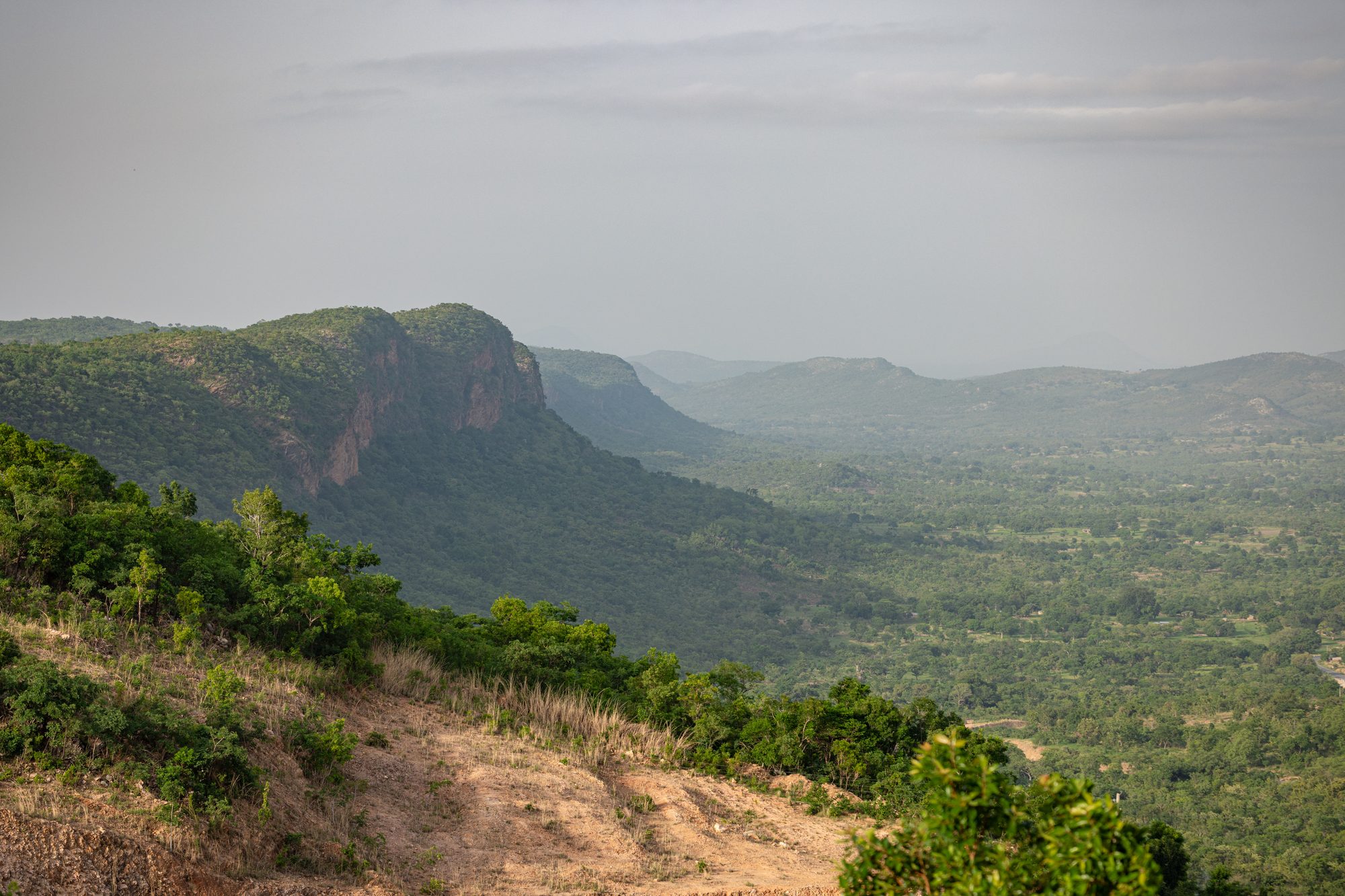
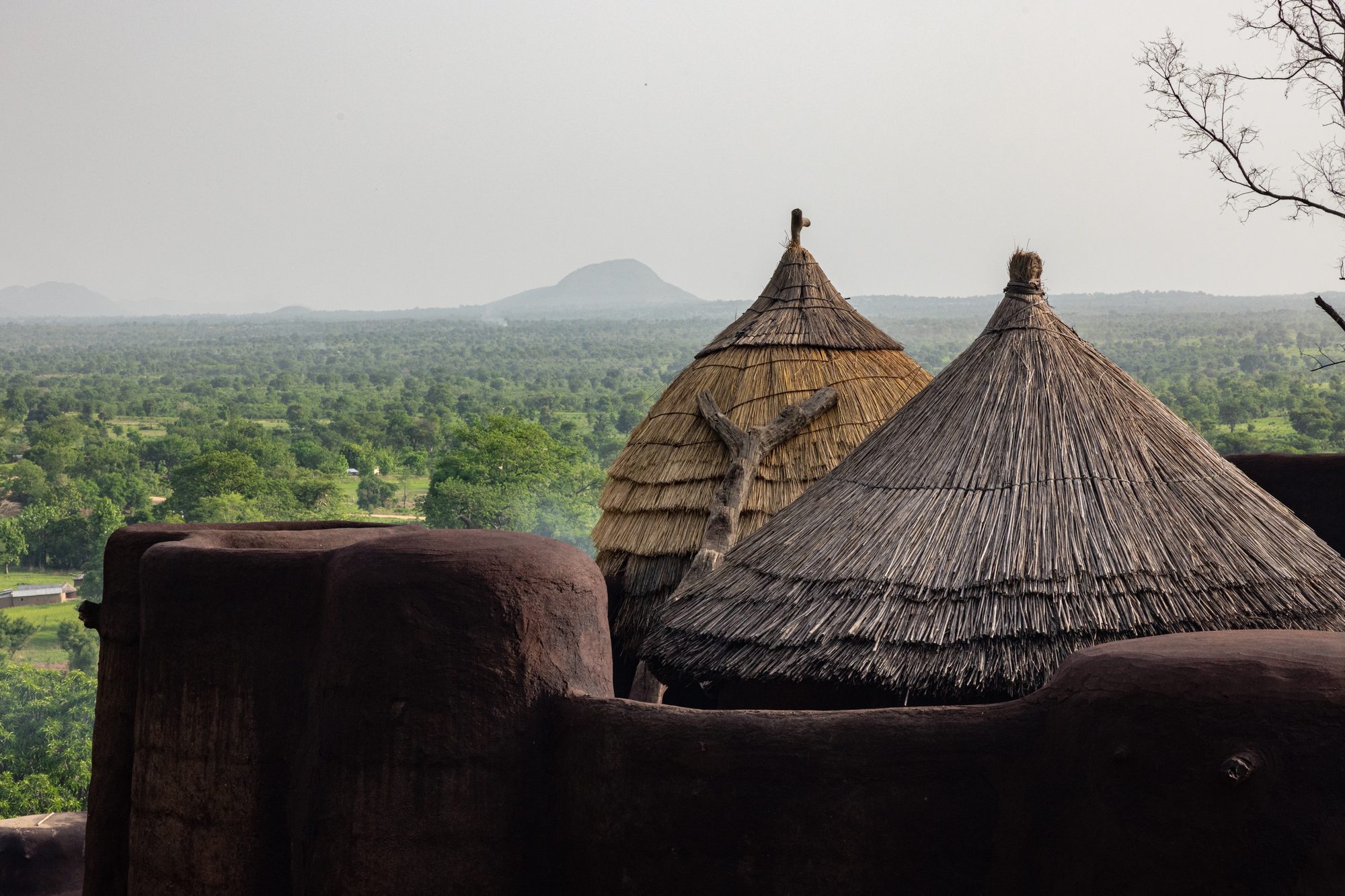
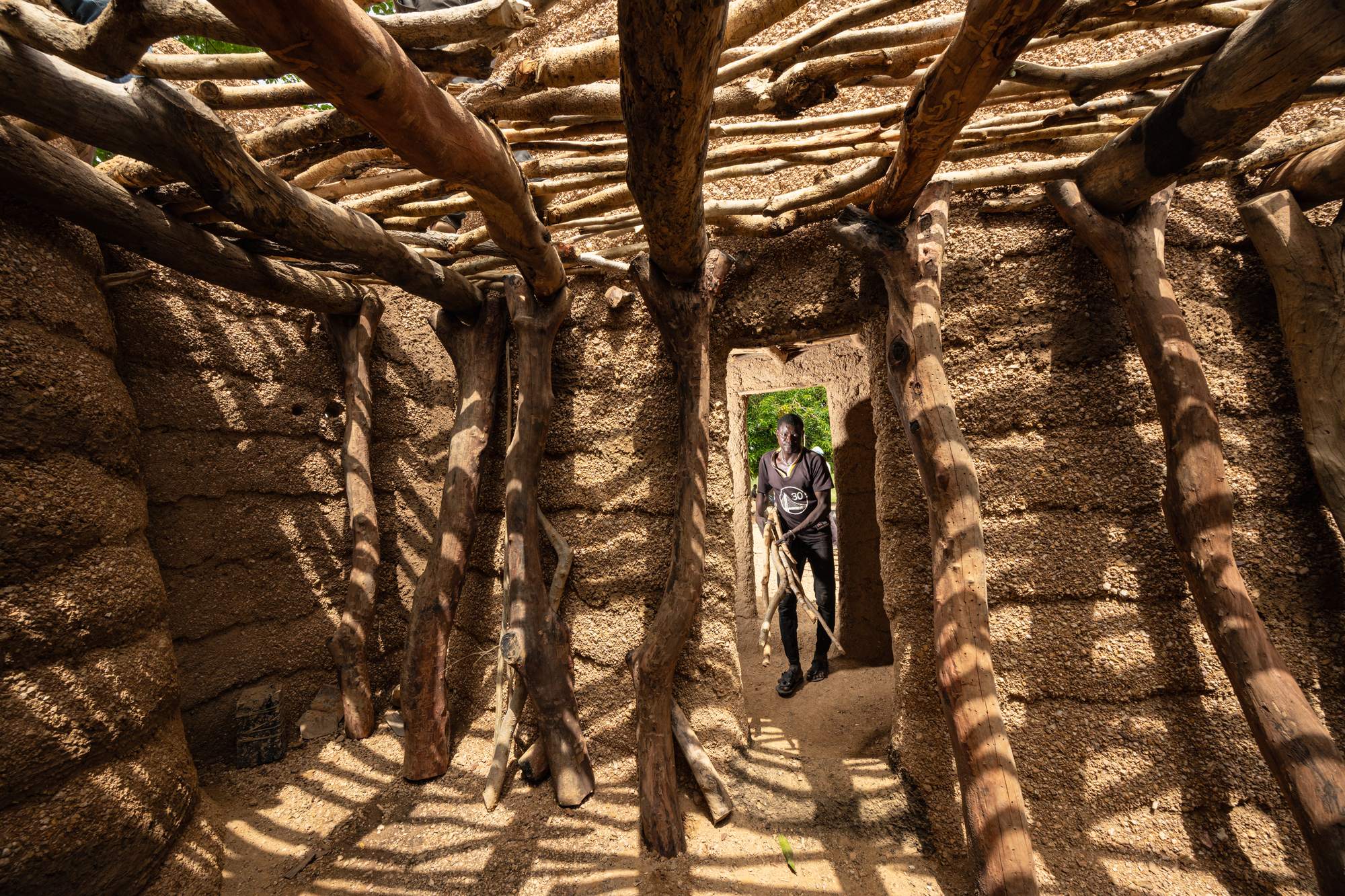
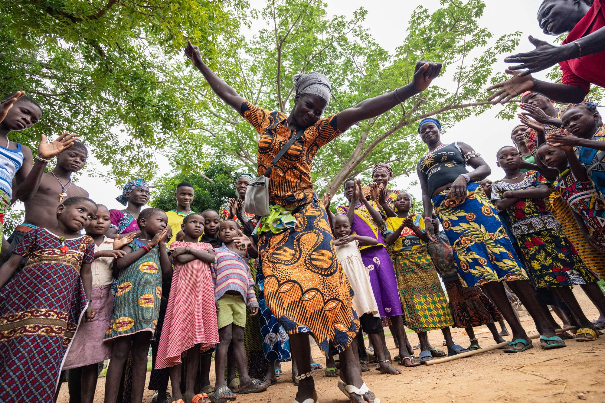
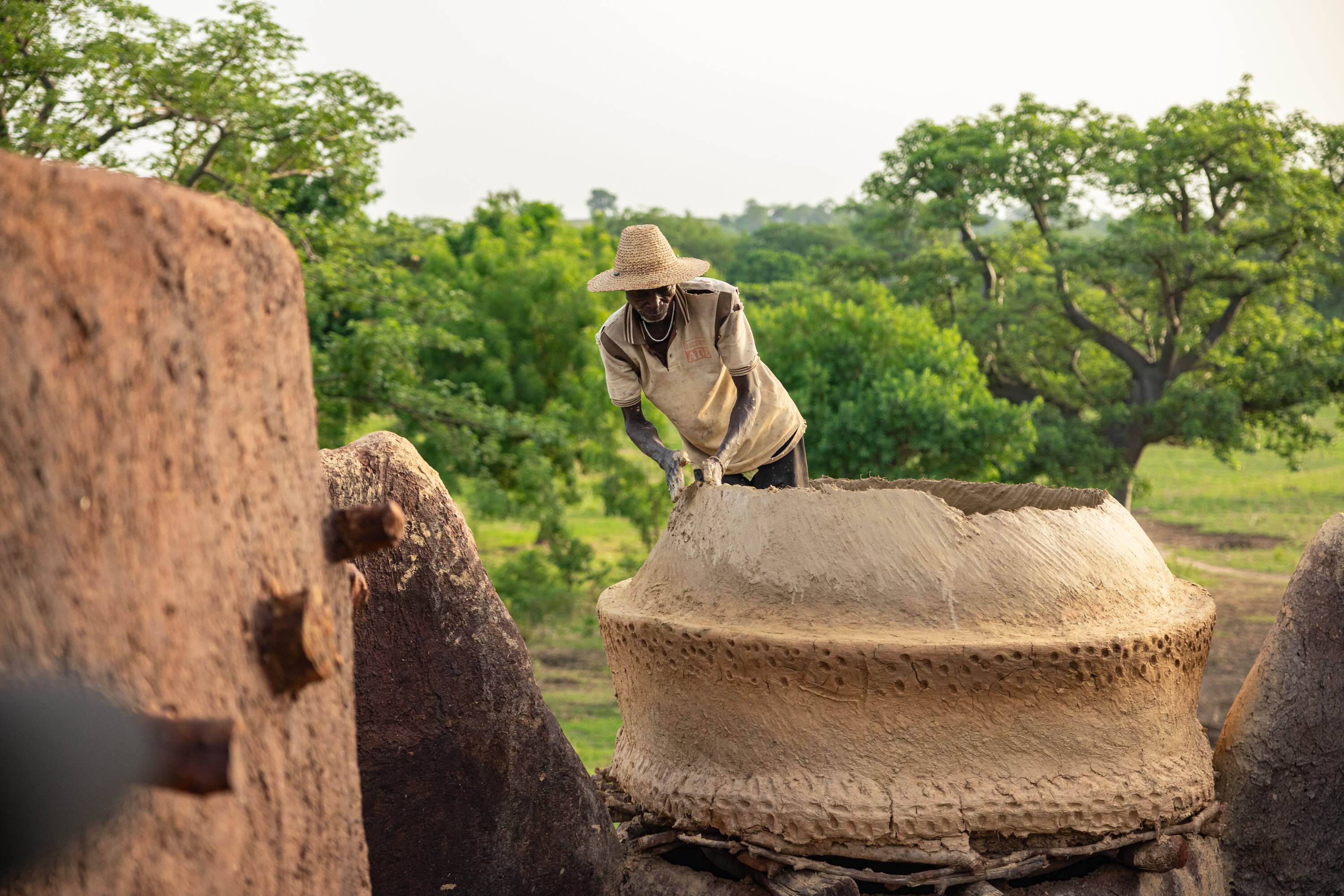
Koutammakou is a cultural landscape of 50,000 hectares on the border between Benin and Togo. It is made up of scattered turreted houses called sikien, cultivable spaces, sacred groves, ponds and rocks, century-old trees, waterways and landscaped hills. The turreted houses are built using material from the local environment and act as houses, defensive structures and religious centres for the Batammariba who continue to inhabit the site. As a living landscape, the pursuit of harmony between people and nature underpins the Batammariba world view and this is represented by rich intangible customs and traditions which continue to be practised at the site. The site, its inhabitants and its rich culture are being impacted by flooding, severe storms, heat waves, extreme rainfall and drought.
See the place










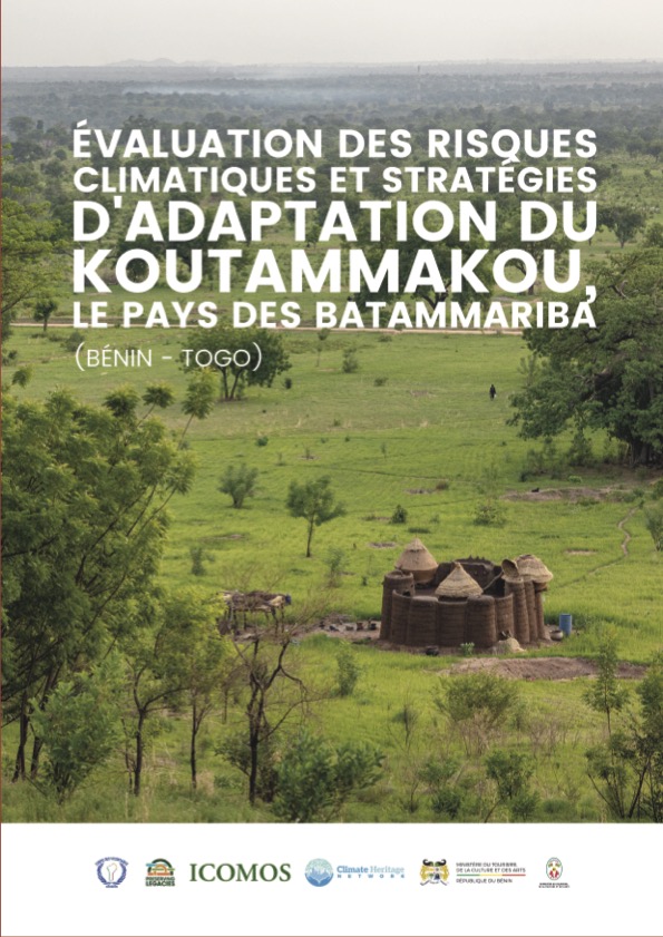
Évaluation des Risques Climatiques et Stratégies d’Adaptation du Koutammakou, le Pays des Batammariba (Bénin–Togo)
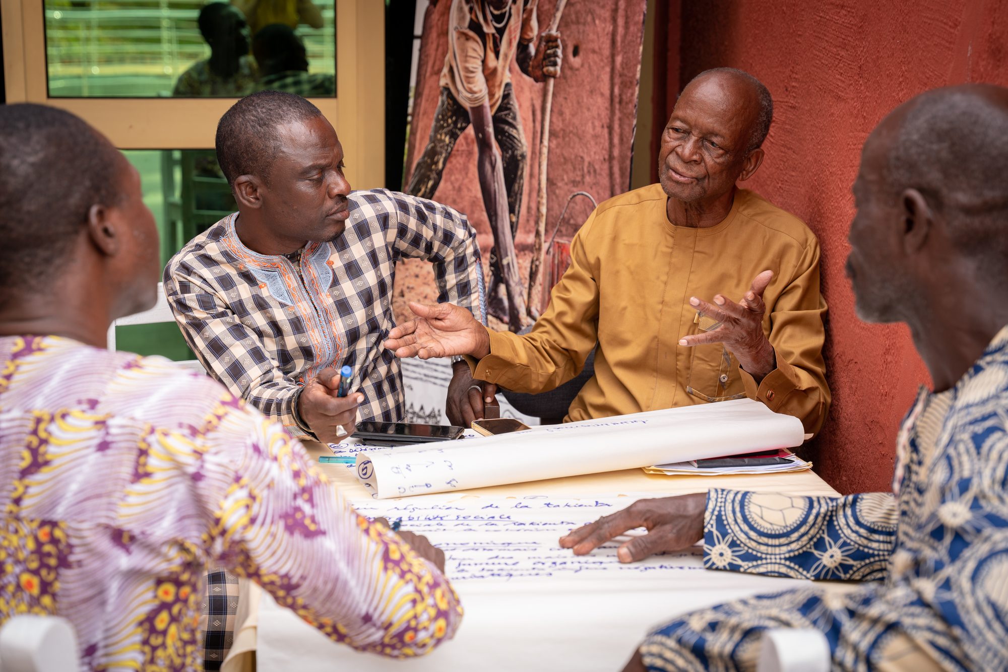
This locally led climate risk and adaptation assessment for Koutammakou, the Land of the Batammariba identifies six major climate hazards that are projected to intensify by 2080, assesses the four values prioritized by stakeholders — architectural, use, ecological, spiritual — to all be above the critical risk threshold, and proposes a biocultural resilience strategy for adaptation. Of note is its inclusive methodology that combined scientific data with a two-year long participatory process involving 277 local, institutional and international expert stakeholders.




%20.png)


.jpg)