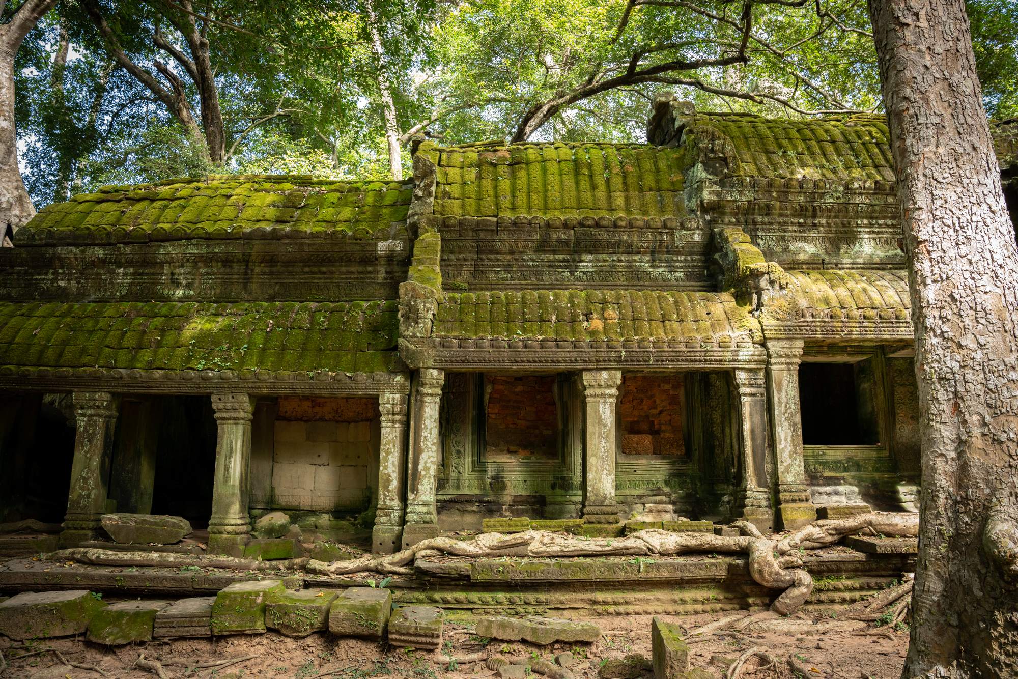

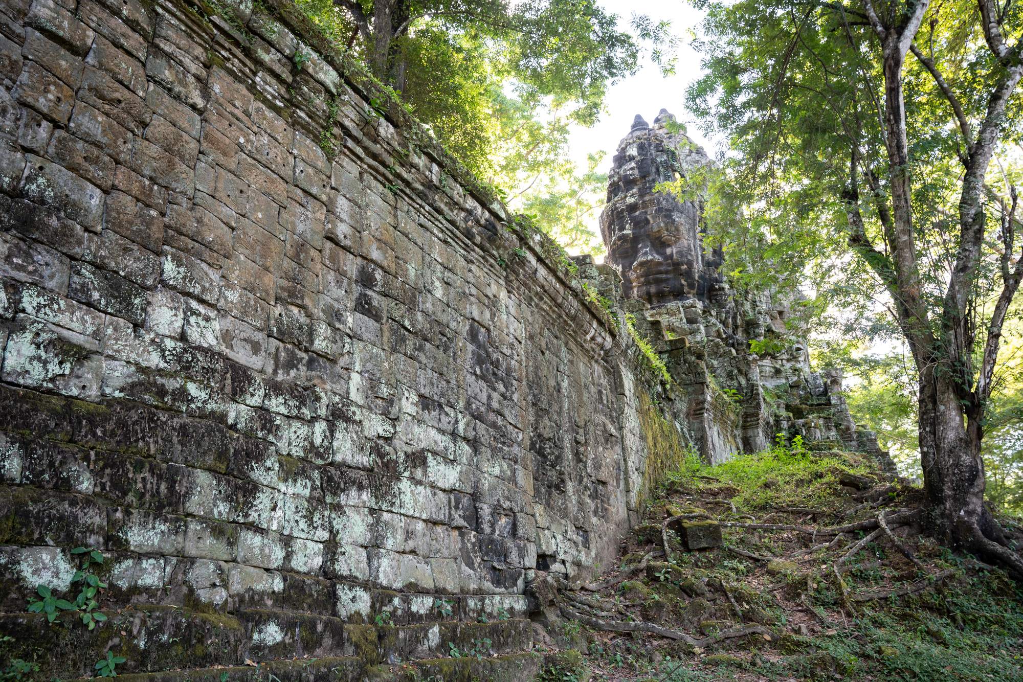
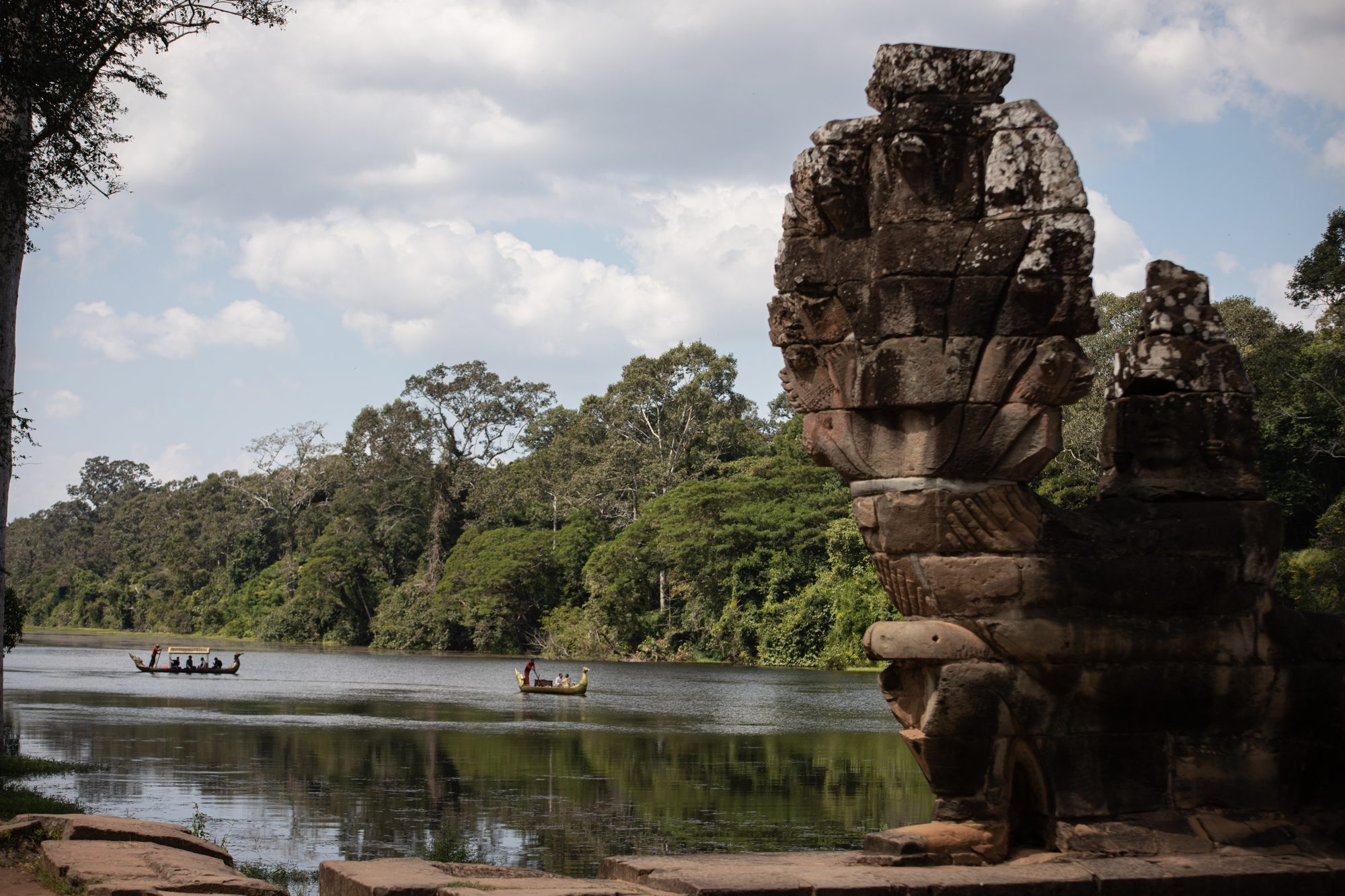
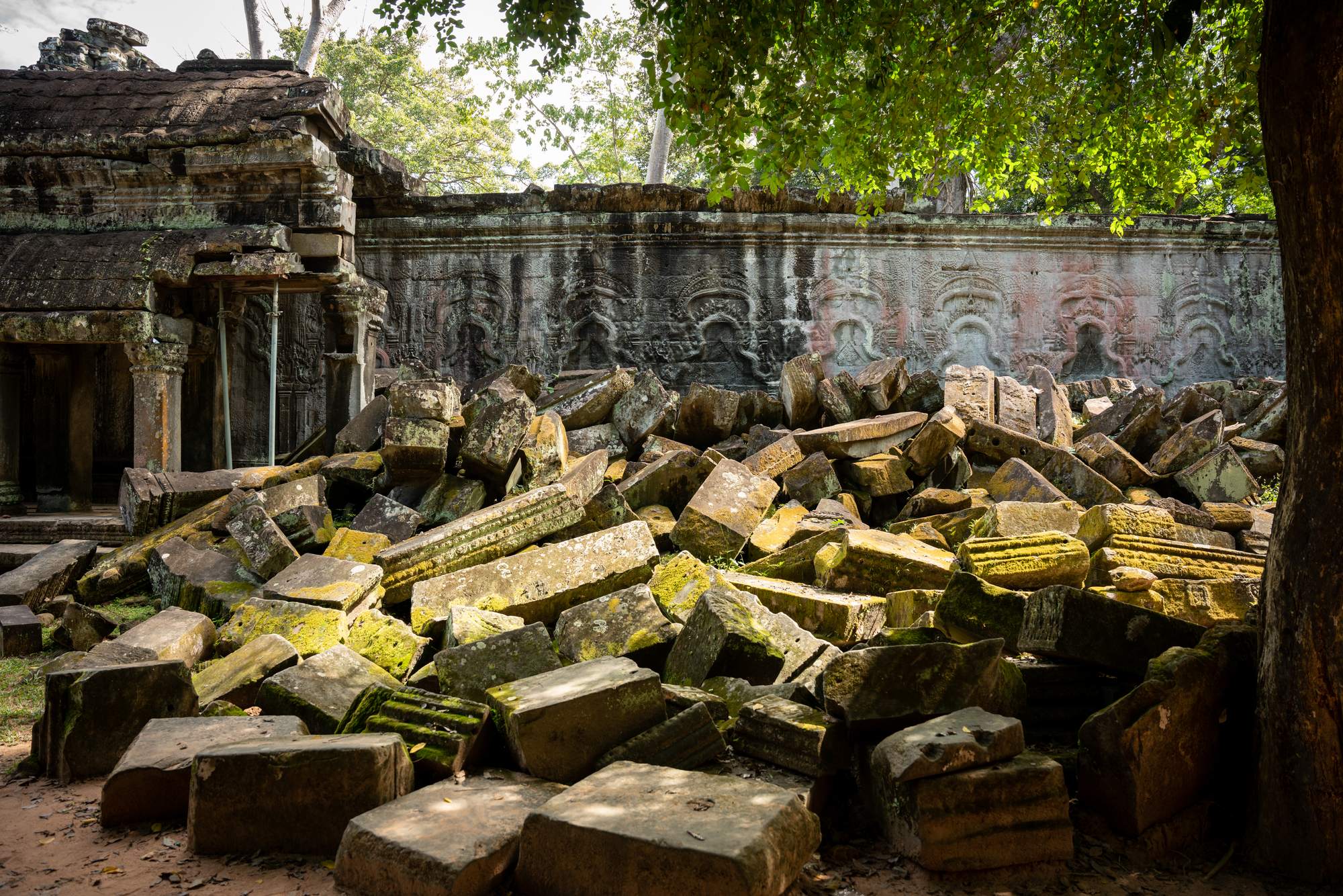
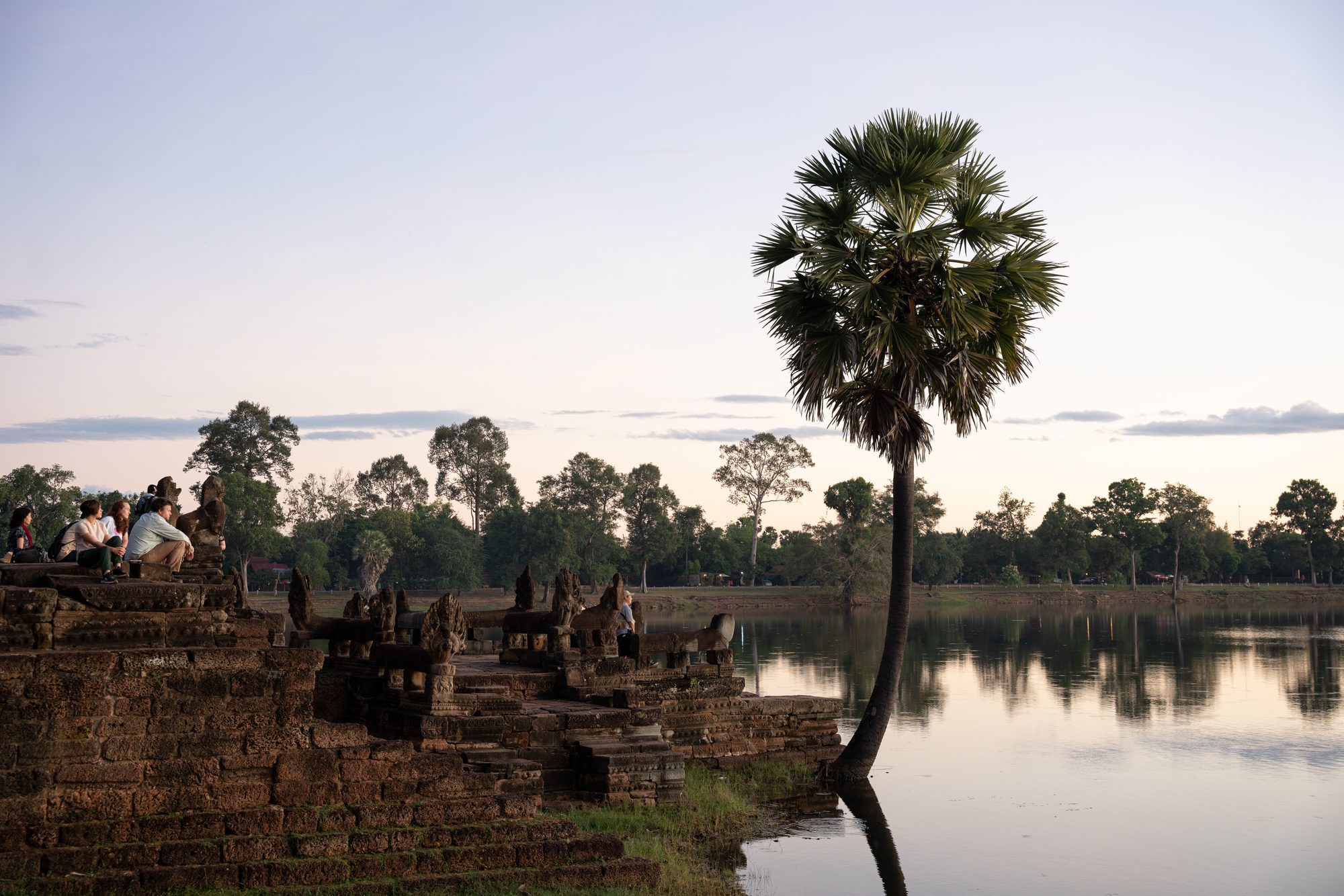
Angkor is a living Word Heritage site in Cambodia’s northern province of Siem Reap. It extends over a large area, contains 112 villages and is famous for its spectacular remains of the different capitals of the Khmer Empire, from the 9th to the 15th century. It is also known for its incredible hydraulic structures including reservoirs, canals, dykes and drainage basins built, not only for daily life and agriculture purposes, but also to assure the stability of the temples. Angkor is a truly unique collection of archaeological sites, monuments, landscapes and natural environments where communities continue to live and farm. During the last few decades, it has become a major international tourist destination welcoming people from all over the world yet is threatened by changing weather patterns which, combined with population growth, and putting strain on existing water management systems.
See the place
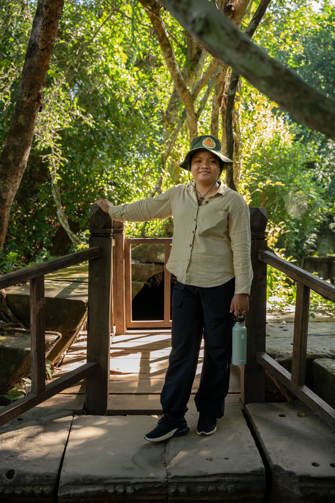
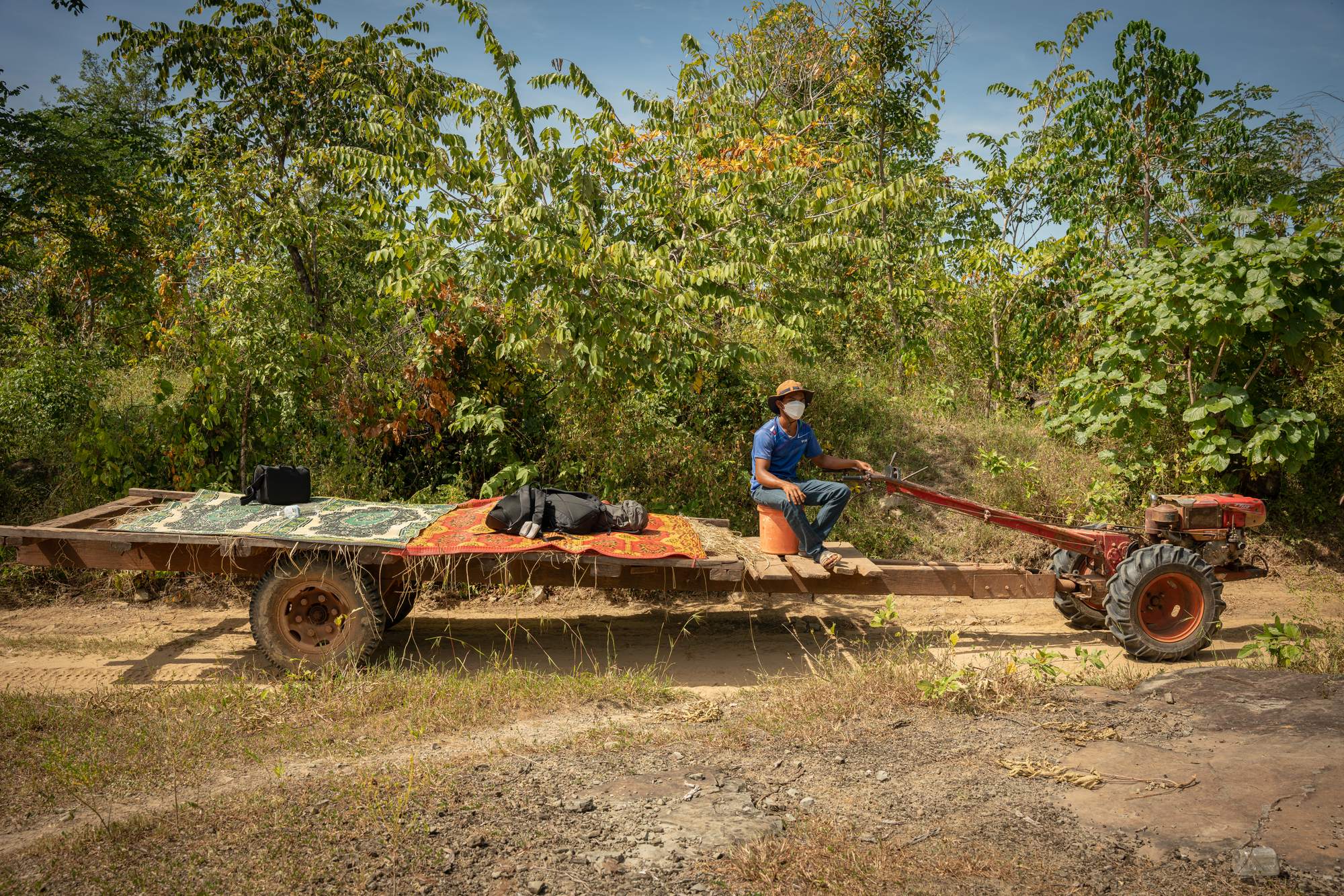
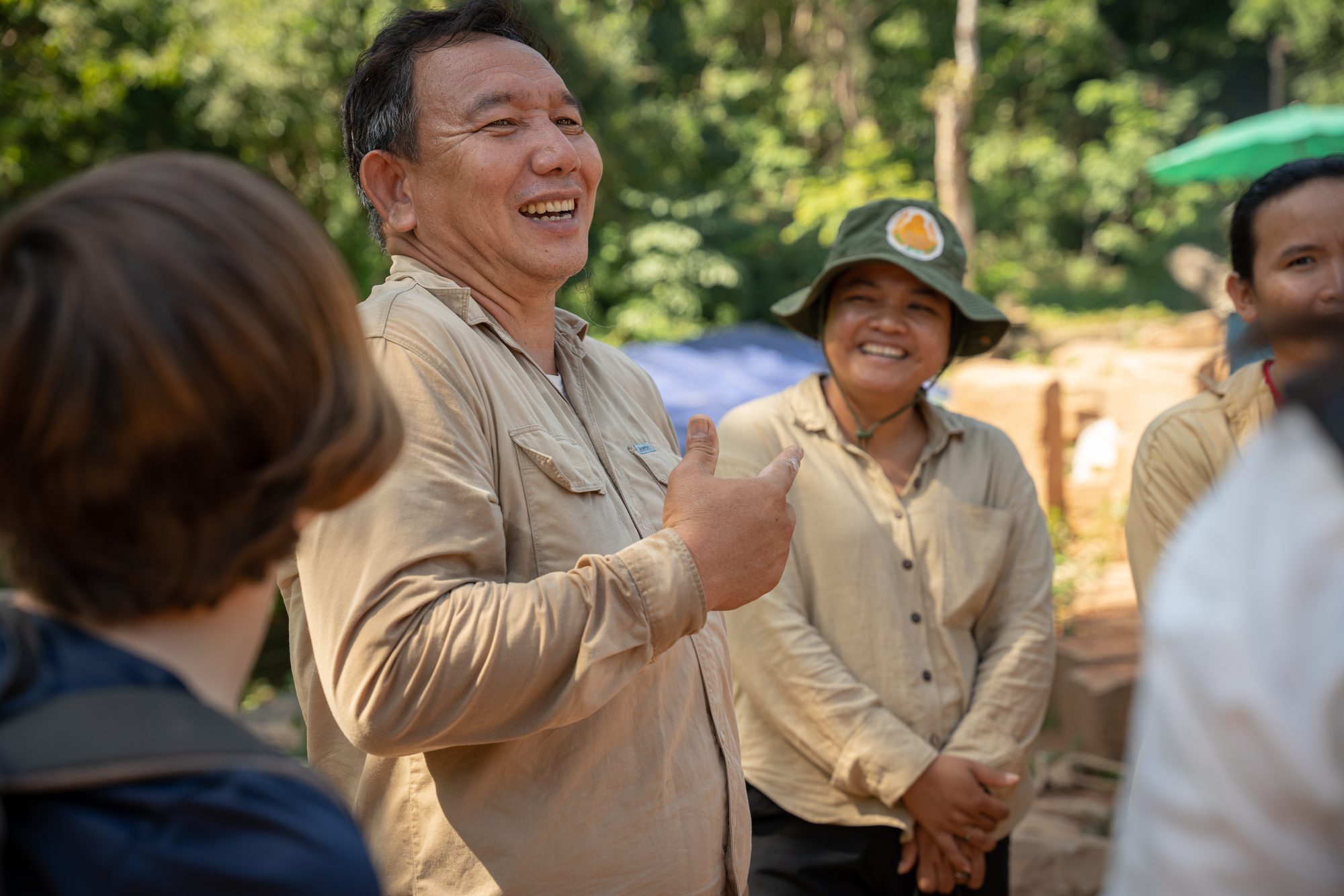
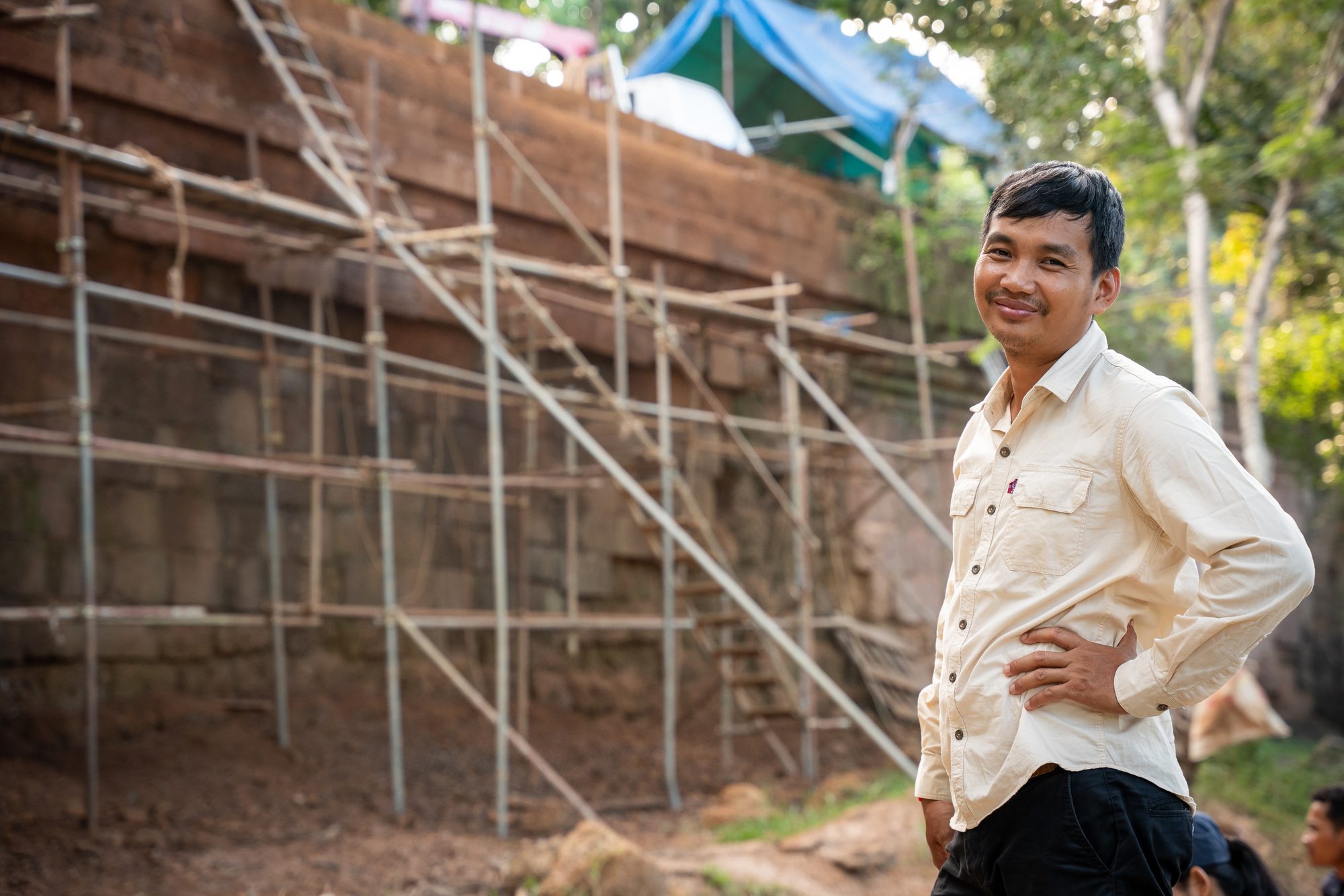
Watch the action
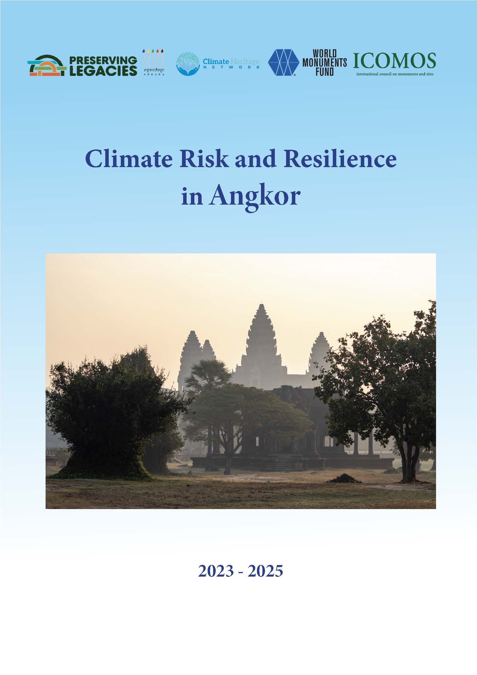
Climate Risk and Resilience in Angkor
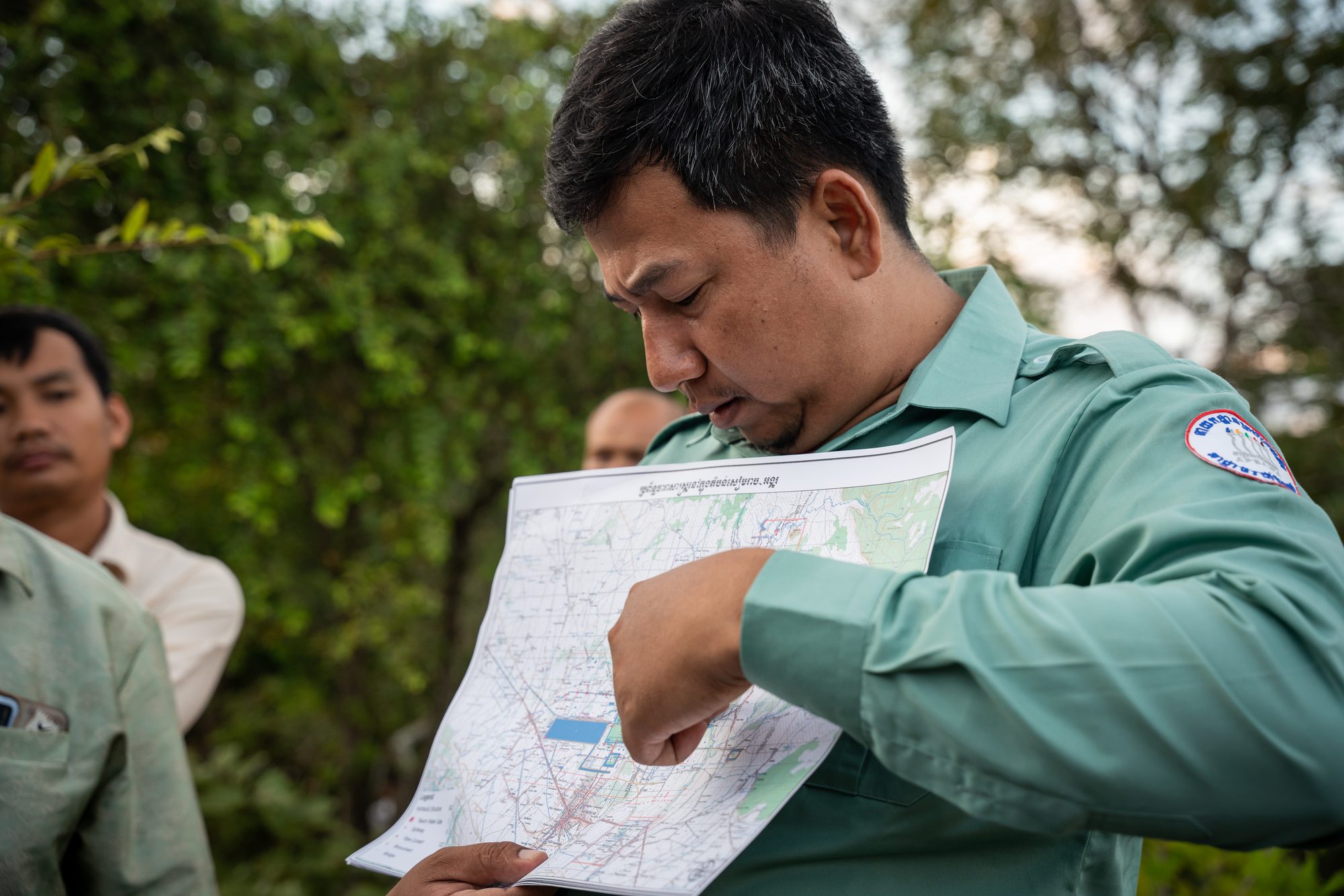
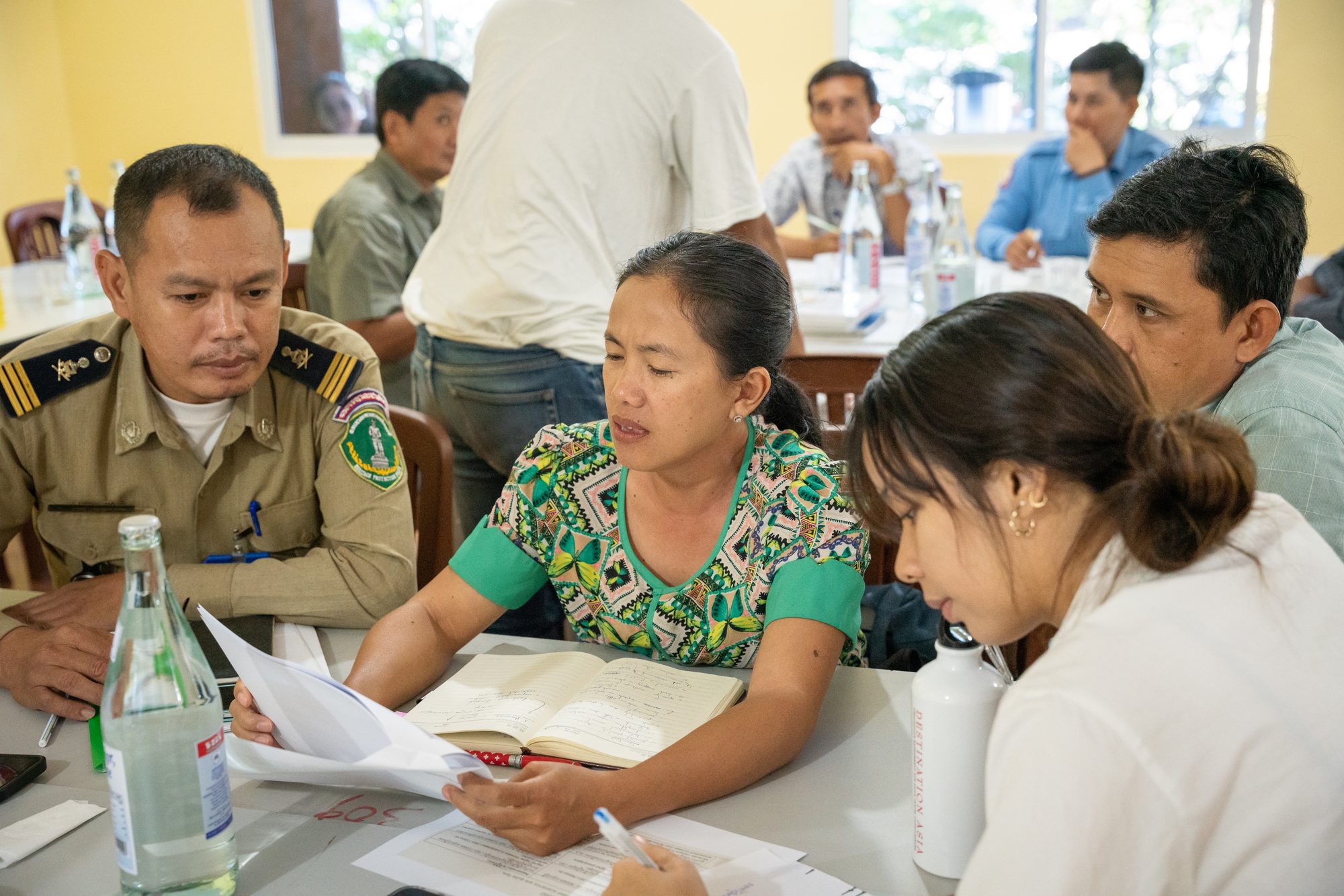
This first-ever locally led climate risk assessment for Angkor takes a values-based, community-led approach, recognizing the site as a living cultural landscape where heritage, nature, and local communities are closely interconnected. Driven by site custodians from the APSARA National Authority, the report draws on both scientific climate projections and community consultation to project a future in 2060 that is markedly warmer and wetter. Hazards like erratic rainfall and rising temperatures pose heightened risk to its UNESCO inscribed values, as well as new values uncovered through this engagement process, including natural, economic, and community health. Fortunately, existing conservation, water management, and protection by forests with two million replanted trees buffer these risks, resulting in an overall moderate level of risk.


%20.png)


.jpg)